
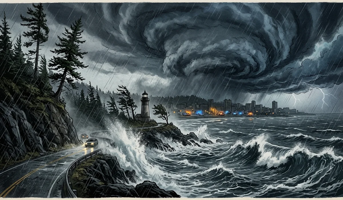
SEATTLE — A colossal Pacific storm system undergoing explosive cyclogenesis slammed the western coastline of the United States on Wednesday, generating hurricane-caliber wind gusts surpassing 100 miles per hour, plunging more than 600,000 households and businesses into total darkness, and triggering deadly tree collapses across the Puget Sound metropolitan corridor.
Meteorologists classified the extraordinary event as a premier "bomb cyclone"—a meteorological phenomenon defined by a drop of at least 24 millibars of central atmospheric pressure within a 24-hour window. Data recorded by the National Weather Service (NWS) revealed this system shattered historical regional records by plunging roughly 66 millibars in under 24 hours, dropping from approximately 1,000 millibars down to an astonishing 942 millibars off the coast of Vancouver Island—a central pressure benchmark equivalent to a Category 4 major hurricane.
The human and infrastructural toll was immediate and severe. In Lynnwood, Washington, emergency responders confirmed that a woman in her 50s was tragically killed when an enormous evergreen tree collapsed onto an unhoused encampment Tuesday evening. In nearby Bellevue, another woman lost her life inside her residence when a massive fir tree crashed through the roof and upper floors. First responders across King, Snohomish, and Pierce counties were inundated with thousands of 911 distress calls reporting live high-voltage power lines igniting brush fires and motorists trapped beneath fallen timber.
At the peak of the tempest early Wednesday morning, Puget Sound Energy and Seattle City Light reported that more than 600,000 electric meters were knocked offline. School districts across western Washington suspended in-person instruction, commuter rail corridors were halted by debris on tracks, and major thoroughfares including sections of Interstate 90 were blocked by downed utility infrastructure.
Simultaneously, the trailing edge of the cyclone tapped into a sprawling subtropical moisture plume—a Category 5 atmospheric river colloquially dubbed a "Pineapple Express"—which channeled torrential rains across Northern California and southwest Oregon. The Weather Prediction Center issued rare High Risk flood warnings, projecting rainfall totals of 12 to 16 inches across the coastal ranges and up to four feet of heavy blizzard snowfall across high-elevation passes in the Sierra Nevada and Cascade mountain ranges.
Meteorological Mechanics of Explosive Cyclogenesis
The storm’s violent potency was amplified by a collision between Arctic air masses plunging south from Alaska and an unseasonably warm, moisture-rich air stream stretching westward toward Hawaii. This extreme thermal gradient supercharged the Pacific jet stream to speeds exceeding 160 knots, driving the central pressure down to barometric depths seldom observed in mid-latitude continental waters.
Offshore buoys and coastal monitoring installations recorded historic wind metrics. Peak gusts included 101 mph off the coast of Vancouver Island, 74 mph at Cape Elizabeth along Washington's Olympic Peninsula, and sustained 70 mph winds across exposed coastal headlands in Oregon. Even sheltered suburban communities east of Seattle recorded inland wind gusts between 60 and 77 mph, toppling mature trees already weakened by a prior wet autumn.
Grid Resilience and Emergency Mobilization
Utility executives warned that full restoration of the regional electrical grid could take multiple days given the physical scale of the destruction. Repair crews from across Idaho, Montana, and eastern Oregon were mobilized through mutual aid pacts to assist local linemen clearing tangled trees and replacing shattered utility poles.
Governors and municipal authorities urged residents to treat all fallen electrical cables as live and dangerous, exercise extreme caution with indoor generator ventilation to prevent carbon monoxide poisoning, and avoid travel through forested corridors where soils saturated by atmospheric river precipitation continue to present severe mudslide and tree-fall risks.
How this account was assessed
This explainer is built from verified observational data from the National Weather Service, the Weather Prediction Center, Puget Sound Energy grid status telemetry, and local emergency management briefings in Washington and Oregon. Public meteorological readings establish barometric pressures and measured wind gusts, while municipal emergency services confirm casualty and infrastructure damage reports.
Independent checks for readers
Readers seeking real-time storm updates can consult the National Weather Service local office feeds (NWS Seattle, NWS Portland), county emergency management dashboards for road closures, and utility outage maps for restoration timelines. Barometric readings and marine buoy records remain publicly downloadable via the National Oceanic and Atmospheric Administration (NOAA) National Data Buoy Center.


Reader Discussion (0)
Only registered and logged-in readers can post comments.
Sign in with your account or create a free profile in seconds to join the conversation.
Loading discussion...